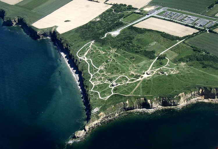
Aerial View affords a glimpse of the cliffs that were scaled on D-Day. Also
to be seen are the many shell craters that remain despite 60 years of
weathering.
(Courtesy Karine Guilbert)
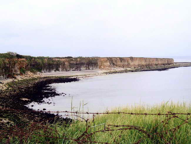
Infamous Cliffs along Pointe du Hoc seem unassailable but U.S. Army Rangers proved otherwise (Photo courtesy Karine Guilbert)
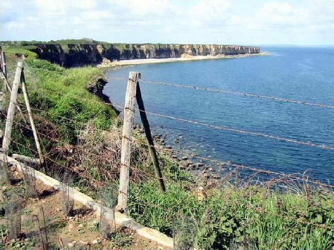
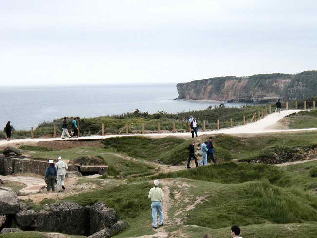
Barbed Wire to keep tourists from getting too close to the edge is something of a reversal of 60 years ago
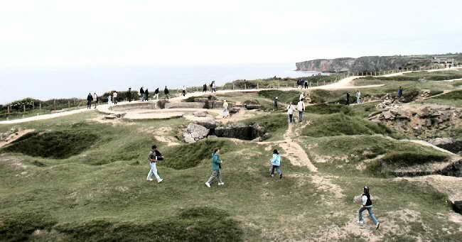
Pockmarked Earth forces visitors to walk in zigzag patterns as they traverse the area
Craters Remain despite the effects of six decades of wind and rain
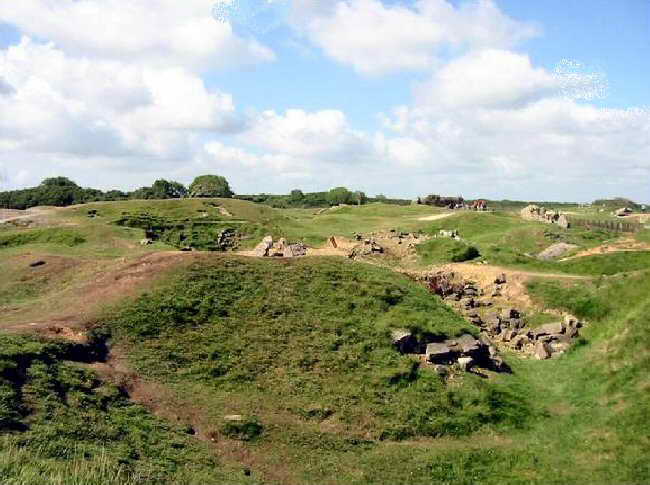
Death and Destruction rained down on this area for hours as aircraft bombing and naval salvos attempted to "soften" the area prior to the beach assault
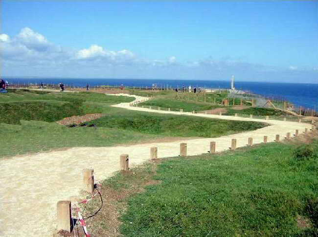
Winding Path leads to
cliff side memorial obelisk. It is a misleading scene given the ravaged areas to left and right of the path
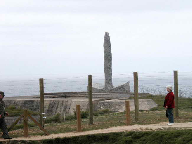
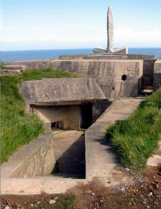
Memorial Obelisk sits atop what once was a German bunker
Another Perspective reveals the extent of this one bunker and the shore battery it served
Copyright and all other rights reserved by the Family and Friends
of The 508th Parachute Infantry Regiment Association or by those who are
otherwise cited,
For problems or questions regarding this web site, please contact
Jumpmaster.