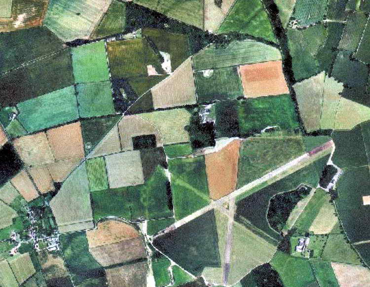
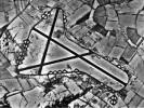
Arial View
in summer depicts lush farmland in a patchwork quilt surrounding the
Saltby airfield with only two runways then constructed.
(Photo courtesy Tony Rogers) |

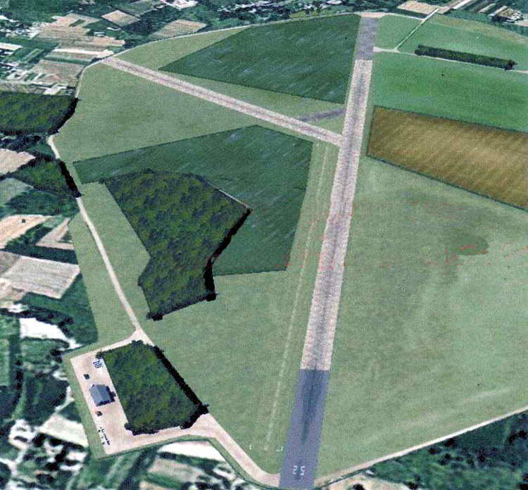
Closer Shot
reveals two camouflaged areas with a herringbone pattern of greens and
blacks to the left of runway 17/25. Intended to resemble fields, their shadows, although short,
give them away in this photo taken near midday.
(Photo courtesy Tony Rogers) |

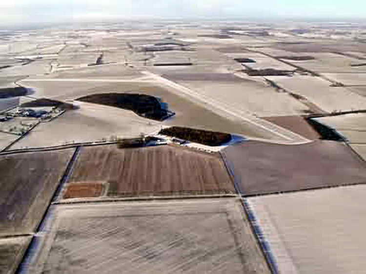
Winter At Saltby
shows arid fields near the air strip. Note two dark areas to
left of the runway with shadows to the right of each area.
Taken with a lowered winter sun, the shadows are even more evident
than in photo to the left.
(Photo courtesy Tony Rogers) |
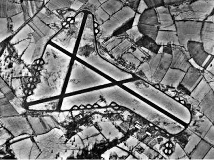
Completed Field
shows three intersecting runways optimally placed at 60 degree
angles to each other. The airfield was built according to
Class A Standards with a main runway was 6,000 feet, the
others being 4,200 feet.. The runways were aligned as 07/25,
02/20 and 13/31, respectively (Hint: place a '0' after each numeric
group to determine compass heading, i.e., 07/25 is actually 070
degrees and reciprocal of 250 degrees.). There were 50 hardstands
(parking areas) with 33 loops plus 17 pans connecting to an
enclosing 50 foot wide perimeter taxiway. |
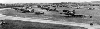
Saltby Airfield In War Livery
with about 17 C-47 (Gooney Bird / Dakota) aircraft parked near the peripheral
taxiway in preparation for
their D-Day missions. Since they are not on prepared hardstands, it implies
that many more were using the loop and pan surfaces seen at left. Note the "invasion stripes" painted on the wings and
fuselage of each aircraft.
Also, in the midst of the C-47s, a lone unidentified plane sits in the front center of
the photo. The aircraft appears to be a four-seater and may have been
used as executive transport or for field exercise observation
(Courtesy Tony Rogers) |