See where the 508th, and the enemy, were located before and during their
time in battle.
|
|
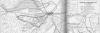
508TH MAP CASE |
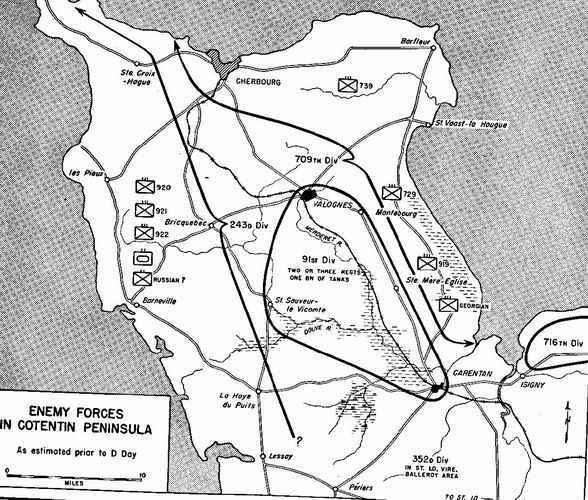
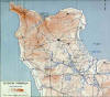 Cotentin Peninsula (topography) Cotentin Peninsula (topography) | 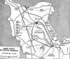 Enemy Forces Enemy Forces
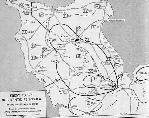
in Cotentin Peninsula as estimated prior to D-Day | 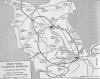 Enemy Forces Enemy Forces
in Cotentin
Peninsula as they actually were on D-Day |
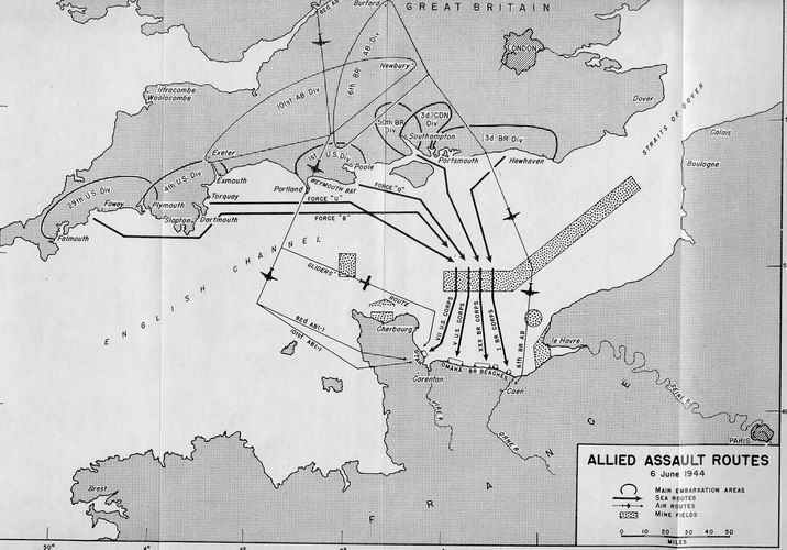
 Allied Assault Routes, Allied Assault Routes,
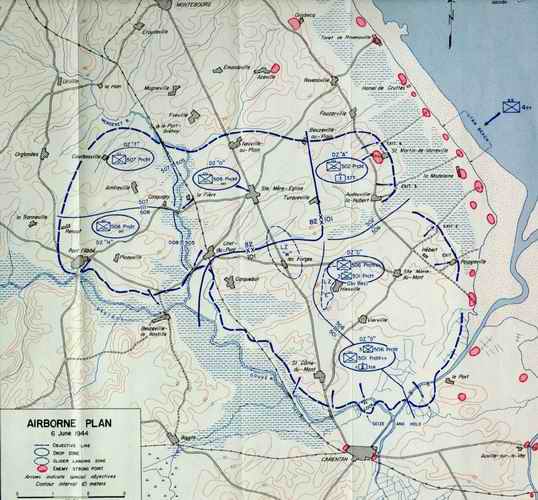
6 June 1944 | 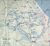 THE PLAN THE PLAN
Airborne Plan,
6 June 1944 (508th DZ is left-most, middle) |  THE REALITY THE REALITY
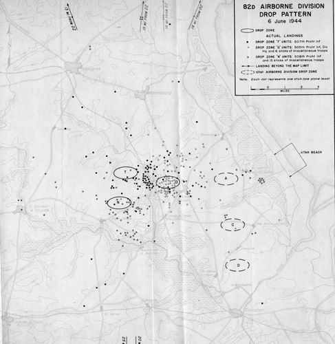
82d Airborne Drop Pattern, 6 June 1944 |
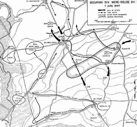
 D-Day Along the Merderet, 82d Airborne Division D-Day Along the Merderet, 82d Airborne Division | 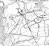 Securing Ste. Mere-Eglise, D+1, 7 June 1944 Securing Ste. Mere-Eglise, D+1, 7 June 1944 | 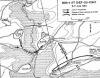 508th at Chef-du-Pont, 508th at Chef-du-Pont,
8-9 June 1944 |
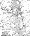
 The La Fiere bridgehead, 9 June 1944 The La Fiere bridgehead, 9 June 1944
| 
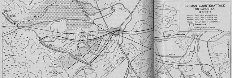
German Counterattack
on Carentan, 13 June 1944 | 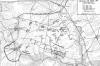
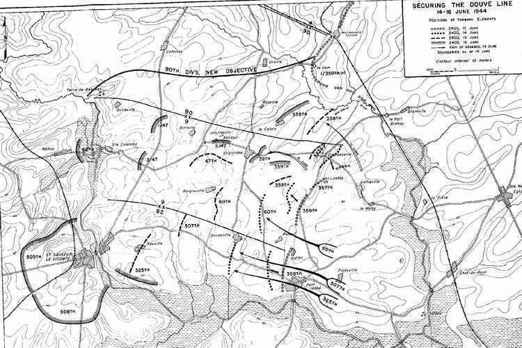
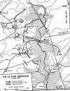
Securing the Douve Line, 14-16 June 1944
|
|
 |